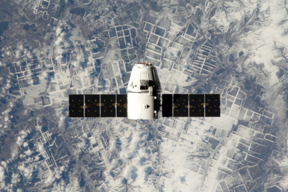
We Assist in Satellite Mapping Services
High-resolution satellite mapping for mining, oil, gas, water & rare metals. Boost exploration accuracy, sustainability & ROI with precision data.


Precision from Above: Advanced Satellite Mapping Technology
Unlock unparalleled accuracy with high-resolution satellite mapping for mining, oil and gas fields, water resources, and rare metal deposits. Using cutting-edge remote sensing and geospatial technology, this service provides clear, actionable insights for exploration and extraction. Identify mineral-rich zones, monitor land changes, and optimize field operations with precision data—delivered fast and at scale. Eliminate guesswork with geolocation-based intelligence that sharpens decision-making and reduces exploration risk.
1. Operational Efficiency: Reduce Costs and Maximize Resources
Outdated surveys and manual mapping waste time and money. This satellite mapping solution streamlines field assessments, offering continuous data coverage across vast or remote areas. Monitor geological changes in real time, analyze terrain composition, and detect hydrocarbon potential—all from one digital dashboard. Improve ROI with minimized ground activity, fewer blind drillings, and lower environmental impact. Whether you’re exploring rare earth metals or groundwater, reliable mapping ensures smarter resource allocation.
2. Compliance & Sustainability: Smarter Exploration with Fewer Risks
Meet environmental standards and maintain operational transparency with mapping solutions that support regulatory compliance and sustainable resource management. Track land usage, detect unauthorized activity, and safeguard ecosystems while accessing the critical materials your operation depends on. From mining operations to oil and gas site planning, the system empowers responsible development—backed by satellite data verified for accuracy, clarity, and long-term value.
Satellite-Driven Exploration & License Optimization Services
We offer a comprehensive suite of advanced exploration and resource optimization services using AMRT (Advanced Multi-Resolution Technology) satellite mapping. These services are tailored to support the full lifecycle of mining licenses—from initial feasibility to commercial exploitation—ensuring higher accuracy, lower risk, and maximum resource recovery.
Feasibility Studies Through Satellite Intelligence
Before investing in on-ground operations, we conduct remote feasibility studies using high-resolution satellite imaging and geospatial analytics. This enables fast, cost-effective assessments of geological potential across vast terrains—critical for informed decision-making on mining license areas.
Targeted Mapping of Precious Metals
Using AMRT satellite technology, we identify gold, silver, platinum, and other precious metal deposits with pinpoint accuracy. Our data highlights mineral anomalies, host rock formations, and alteration zones, helping streamline exploration and reduce drilling waste.
Advantages:
High-confidence targeting of gold and silver veins
Integration of spectral and structural mapping
Ideal for greenfield and brownfield projects
Detection of Precious Stones
Our platform supports the identification of diamond-bearing kimberlite pipes, sapphires, rubies, and other gemstones through remote sensing algorithms tailored to detect specific lithologies and surface signatures.
Advantages:
Locate gemstone zones with minimal environmental disturbance
Reduce costly manual reconnaissance
Enable rapid assessment across wide license zones
Rare Metals & Strategic Mineral Prospecting
We specialize in mapping rare and critical metals like lithium, cobalt, tantalum, niobium, and REEs (rare earth elements)—crucial for electronics and green technologies. By using advanced spectral analysis, we help uncover hard-to-find deposits in remote or underexplored areas.
Advantages:
Accelerated identification of high-value rare metal zones
Supports critical mineral security strategies
Informs sustainable, ESG-aligned mining models
Oil and Gas Field Mapping
We provide deep analysis of onshore oil and gas fields through structural and geomorphological satellite studies. This allows for early detection of subsurface hydrocarbon indicators, fault lines, and sediment basins.
Advantages:
Optimize exploration blocks within licensed areas
Reduce seismic survey scope
Plan infrastructure with topographic and hydrological overlays
Water Resource Identification for Operational Sustainability
Reliable water resource mapping supports both exploration and operational sustainability. Our satellite systems identify groundwater, aquifers, and surface water bodies critical for mining, drilling, and processing activities.
Advantages:
Locate water sources within and around license zones
Monitor seasonal changes and water stress risks
Support permitting and environmental compliance


AMRT Satellite Technology: Precision Resource Detection with 93%+ Accuracy
Unlock the full potential of your exploration projects with AMRT (Advanced Multi-Resolution Technology)—a cutting-edge satellite-based solution that delivers up to 93% or more proven accuracy in identifying the position and depth of elements across the periodic table. Backed by field trials and verified drilling results, AMRT stands at the forefront of modern exploration, enabling a smarter, faster, and more sustainable way to locate high-value resources.
Unlike conventional methods, AMRT technology works entirely from space, eliminating the need for invasive groundwork in the early stages of exploration. This remote sensing approach offers:
Zero disturbance to land, ecosystems, or communities
Substantial cost reductions in pre-drill exploration
Dramatic time savings—actionable results in days, not months
2. Comprehensive Sub-Surface Mapping Capability
With unmatched spectral sensitivity and deep-penetration capability, AMRT can detect a wide range of resources hidden beneath the earth’s surface, including:
Precious Metals: Gold, Silver, Platinum
Base Metals: Copper, Nickel, Zinc
Rare Earths & Critical Minerals: Lithium, Cobalt, Tantalum, REEs
Oil & Gas Hydrocarbons: Onshore petroleum systems and gas fields
Water Resources: Aquifers, groundwater, and surface water systems
Structural Voids: Cavities, tunnels, and subsurface anomalies
This makes AMRT the ideal first step before allocating budgets to costly ground-based geophysics, drilling campaigns, or mobilizing field teams.
Why Choose Our AMRT Satellite Mapping Services?
Faster decision-making: Remote sensing delivers insights in days, not months
Lower exploration costs: Target only the most promising sites
Regulatory support: Data-driven reports support licensing and compliance
Sustainable operations: Minimize environmental impact and social disruption
93%+ accuracy validated by field data
Non-invasive and environmentally safe
Identify targets before committing capital
Accelerate project timelines by months
Optimize exploration budgets with confidence
